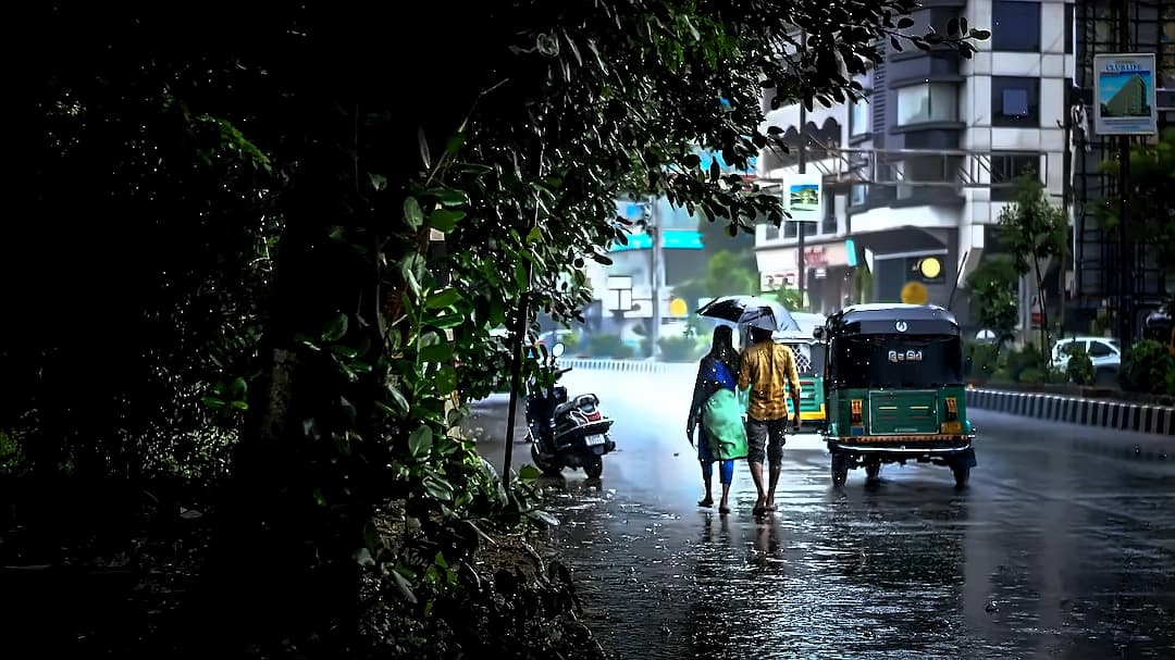
The India Meteorological Department (IMD) has issued a red alert for six Kerala districts as a cyclonic circulation over the northern part of the state continues to trigger intense rainfall, flooding, and widespread disruption. The districts placed under red alert include Kasaragod, Kannur, Kozhikode, Wayanad, Malappuram, and Idukki, where extremely heavy rainfall is expected to continue until 9 June. According to the IMD, heavy to very heavy rainfall is likely to continue across Kerala and Mahe until 9 June, with authorities warning residents to remain vigilant as incessant rains have led to waterlogging, uprooted trees, and damage to infrastructure. The weather system has coincided with the rapid advance of the southwest monsoon, which has now reached Maharashtra and several other parts of the country.
Maharashtra Chief Minister Devendra Fadnavis has confirmed that the southwest monsoon's progress in the state is likely to remain slow at least until June 15, with widespread satisfactory rainfall remaining low during this period. As per the Chief Minister's Office, the monsoon has entered South Konkan, bringing moderate to heavy rainfall to parts of Sindhudurg and Ratnagiri districts, with rainfall activity expected to continue until 9 June. However, predictions have indicated that both the intensity of rainfall and the pace of the monsoon's advance are likely to slow over the coming days, reducing the chances of widespread and beneficial rainfall across the state. While parts of Maharashtra, including Vidarbha, Marathwada, and Khandesh, are set for afternoon clouds, gusty winds, and scattered thunderstorms through mid-June, farmers may have to wait as the expected rainfall will not provide enough moisture to kickstart large-scale sowing operations.
The IMD has forecast widespread rainfall across several regions of the country on Sunday as the monsoon advances, while heatwave conditions continue to persist in parts of north and central India. According to the latest weather bulletin, widespread rainfall is likely over Arunachal Pradesh, Assam, Meghalaya, Nagaland, Manipur, Mizoram, and Tripura. Southern states, including Andhra Pradesh and Yanam, Tamil Nadu, Puducherry and Karaikal, Karnataka, and Telangana are also expected to witness thunderstorms, lightning, gusty winds, and rainfall. Widespread rainfall is also likely over the Andaman and Nicobar Islands, West Bengal, Jharkhand, Bihar, and Odisha over the next few days. Meanwhile, northwestern regions including Jammu and Kashmir, Ladakh, Gilgit-Baltistan, Muzaffarabad, Himachal Pradesh, Uttarakhand, Haryana, Chandigarh, Delhi, and Punjab are also expected to experience rainfall accompanied by thunderstorms, lightning, and gusty winds.
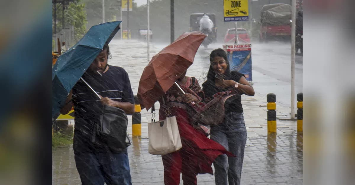
Despite the monsoon's arrival, high temperatures are expected to persist across several parts of Maharashtra, with maximum temperatures likely to remain elevated until at least 12 June. According to the latest forecast, Vidarbha and Khandesh are expected to record temperatures above 40 degrees Celsius, while Marathwada temperatures are forecast to range between 35 and 40 degrees Celsius. The India Meteorological Department (IMD) has also forecast thunderstorms accompanied by lightning and gusty winds reaching speeds of 40-50 kmph, with gusts up to 60 kmph, across Konkan and Goa, Madhya Maharashtra, and Marathwada between 6 and 10 June. Isolated heavy rainfall is likely over Konkan and Goa during this period, while parts of Madhya Maharashtra could receive heavy showers on June 7.
The IMD has already lowered its forecast from 92 per cent of the long-period average (LPA) to 90 per cent of the LPA, raising concerns about potential economic impact. As reported by Business Standard, if the prediction proves accurate, India could record its weakest monsoon in more than a decade in 2026. The onset and progress of this year's monsoon are being closely monitored amid concerns that El Niño could affect rainfall distribution and weigh on economic activity. The Agriculture and Disaster Management Department has appealed to farmers not to rush sowing based on upcoming stormy or scattered rainfall, while citizens have been advised to take precautions during thunderstorms and lightning, with warnings to avoid sheltering under trees, tin sheds, or near electric transformers during such activity.