Maharashtra has finally received its first monsoon rains on June 21, 2026, with the India Meteorological Department (IMD) issuing orange alerts for Yavatmal, Nagpur, Gondia, Chandrapur and Gadchiroli, and yellow alerts for Mumbai, Nanded, Solapur, Thane, Raigad, Ratnagiri, Kolhapur, and Sindhudurg. According to the latest IMD forecast, conditions are favourable for further advance of southwest monsoon into some more parts of Maharashtra, Telangana, Odisha, Jharkhand & Bihar, and some parts of Chhattisgarh around 23rd June, 2026. Mumbai witnessed its first spell of rains in the early hours of Sunday, with the highest rainfall of 24 mm between 6 am and 7 am recorded near Ramabai Municipal School in Ghatkopar. The city also recorded 20 mm at Mankhurd Fire Station and 16 mm at Chembur Fire Station, with 25 mm each at Worli Seaface Municipal School and Savitribai Phule Municipal School.

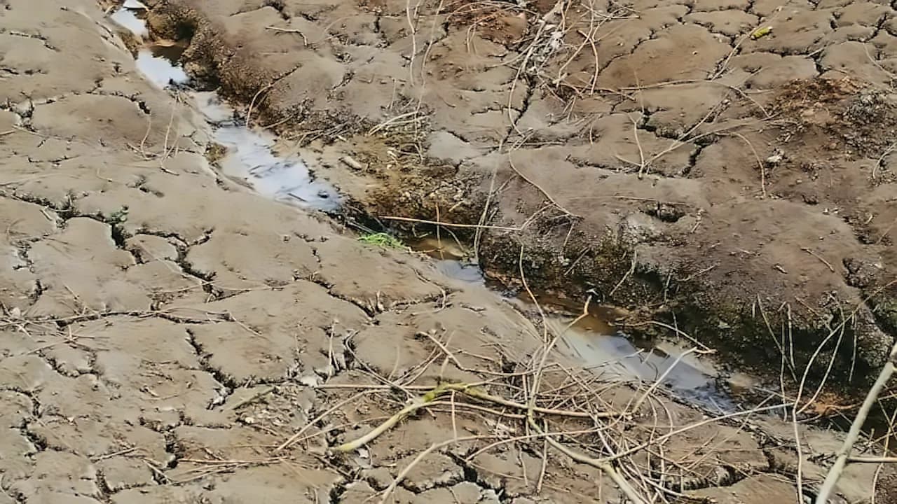
India's monsoon crisis has intensified significantly, with nationwide rainfall now nearly 38% below normal as of June 17, 2026, according to the latest 360 ONE Capital Research report. The cumulative rainfall between June 1 and June 17, 2026, stands at 46.2 mm against a normal of 74.3 mm, leaving the country with an overall 38% rainfall deficit. The southwest monsoon season runs from June to September and is key for sectors such as agriculture, but this year's momentum has been severely weakened due to El Nino, which is expected to grow one of the strongest on record. As per Bloomberg, weather models are currently predicting abnormal dryness to persist in India through July and August, particularly over its northwest and central regions. The lackluster rains threaten vital crops like rice and soybeans by disrupting the early planting season, with satellite images confirming that core agricultural regions such as Maharashtra, Gujarat, Madhya Pradesh and Rajasthan appear almost cloud-free. According to The India Express, the slowdown comes at a time when 2026 is already shaping up to be a climatically challenging year, with large parts of the country now waiting for monsoon rains that have failed to arrive on schedule.
Central India is facing the worst hit with a 62% monsoon deficit, while east and northeast regions are short by 44%, and the southern peninsula is facing a deficit of 22%, according to the latest IMD data. Maharashtra has recorded a 76% rainfall deficit, with the IMD predicting that rainfall activity over most parts of Maharashtra is likely to remain isolated during the next 4-5 days. Odisha has emerged as one of the most affected states, recording 51.2 mm rainfall against a normal of 91.4 mm, translating into a 44% deficit. Gujarat has experienced a particularly weak start to the southwest monsoon, receiving only 6.2 mm of rainfall against a normal of 39.6 mm, resulting in a 84% deficit. Telangana has received only 40.1 mm against a normal of 64.8 mm, a 38% deficit, increasing pressure on reservoirs and rain-fed farming areas. Bihar has recorded 39.6 mm rainfall, 37% below normal, while neighbouring Jharkhand remains 68% below average, with delayed rains affecting paddy transplantation schedules across both states.
The IMD has provided comprehensive rainfall predictions for Maharashtra from June 22nd to June 27th, 2026, with specific forecasts for different regions and time periods. June 22nd forecasts light to moderate rain/thundershowers at many places in South Konkan-Goa districts, while June 23rd predicts moderate rain or thundershowers at most places in South Konkan-Goa. June 24th and 25th show moderate rainfall very likely at most places in South Konkan-Goa, with June 26th and 27th maintaining similar patterns. The forecast indicates that thunderstorms accompanied by light to moderate rain and gusty winds are likely over parts of northwest, central, eastern and peninsular India over the next few days. The IMD has warned that heavy rainfall could lead to localised flooding, waterlogging in low-lying areas, traffic disruptions, reduced visibility and landslides in vulnerable regions.
The delayed monsoon progress has begun significantly affecting agricultural activity, with total kharif sowing as of June 12 reported at 84.6 lakh hectares, down 3.9% from the corresponding period last year, according to 360 ONE Capital Research. Pulses and cotton have witnessed the sharpest declines, with sowing areas contracting by 43.2% and 28% respectively, while rice sowing has shown resilience with a year-on-year increase of 28.4%, albeit from a low base. Despite the weak momentum, sufficient reservoir levels remain a positive factor, with live reservoir storage as of June 11 equivalent to 28.3% of total capacity, around 16% above the 10-year average. This provides an important buffer for irrigation needs should rainfall remain uneven in the near term. According to the report, 22 of India's 36 meteorological subdivisions have received deficient rainfall so far this season, with nearly 66% of the country experiencing scanty or deficient rainfall.
Union Agriculture Minister Shivraj Singh Chouhan has given directions to identify districts where there is a possibility of low or uneven rainfall, and prepare crop-wise contingency plans in coordination with state governments. According to Business Standard, the minister emphasised that special attention should be given to water conservation, moisture management, inter-cropping, and alternative crop patterns. A separate and practical strategy should be made for every risk-prone district so that farmers do not face any difficulty during the kharif season. The Finance Ministry will soon meet with states and central ministries to assess the economic and fiscal impact of El Nino, focusing on potential stress on agriculture, food inflation, and increased subsidy outgo. The government is preparing relief packages for vulnerable districts as part of a proactive approach to ensure adequate supplies and mitigate inflation spikes.