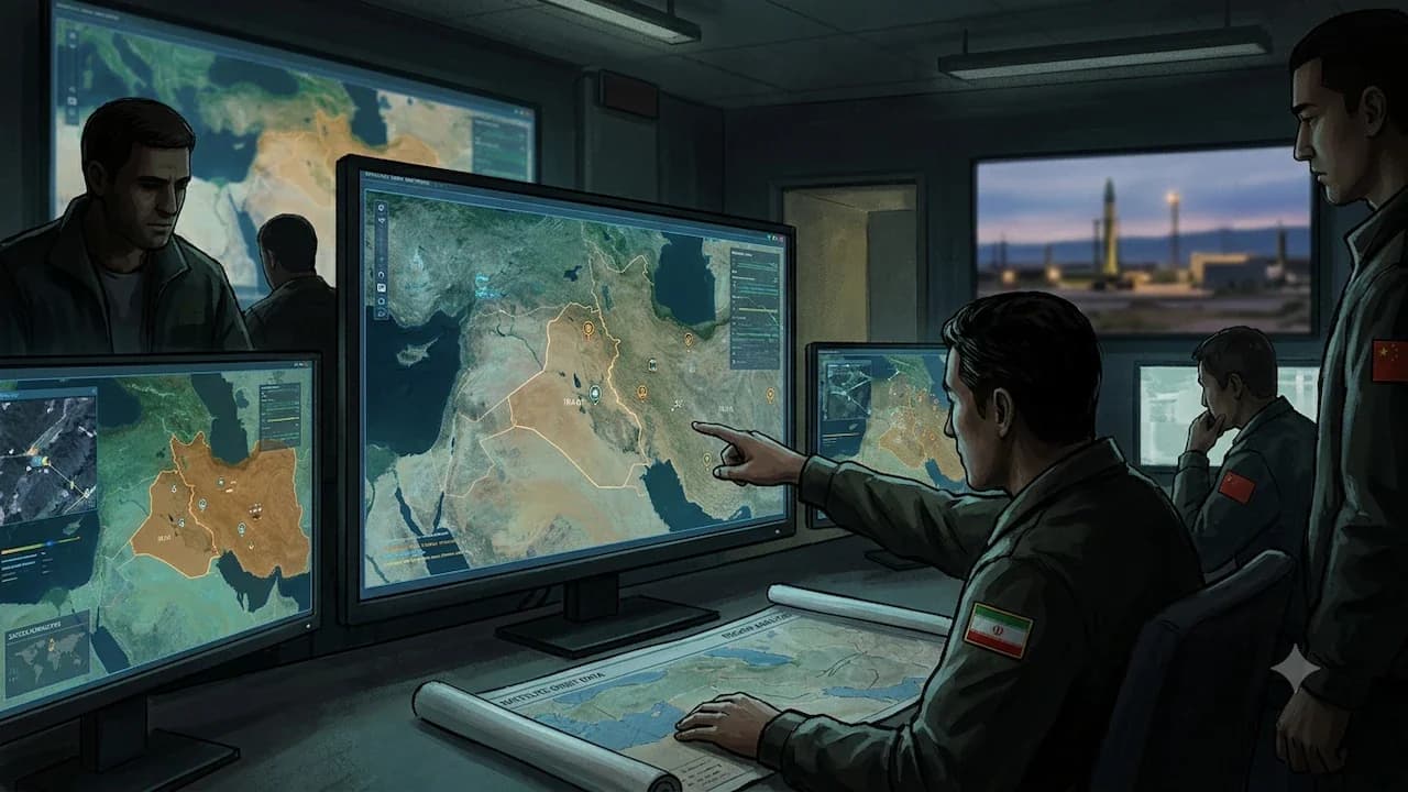
Chinese AI tracking companies with ties to the People's Liberation Army are marketing detailed intelligence on US military movements during the Iran war, built entirely from publicly available satellite imagery, flight data, and shipping records. According to a Washington Post investigation, at least two Hangzhou-based firms, MizarVision and Jinghan Technology, have been selling AI-generated military intelligence on US carrier movements, aircraft deployments, and base activity in the Middle East since the conflict began five weeks ago. The companies collect public data such as commercial satellite images, aircraft location information (ADS-B), and ship automatic identification device (AIS), and combine them with AI to track military trends, including troop movements, aircraft carrier routes, and air base power deployment. As reported by Army Recognition, MizarVision has released high-resolution satellite imagery annotated with AI-driven identification of military assets, infrastructure, and logistical nodes, demonstrating the ability to automatically detect aircraft, hardened shelters, fuel depots, radar systems, and troop concentrations across wide operational theaters.

MizarVision, based in Hangzhou and certified as a PLA military supplier, tracked the movements of the USS Gerald R. Ford and USS Abraham Lincoln carrier strike groups during the buildup to Operation Epic Fury. The firm published detailed breakdowns of aircraft types and quantities at US bases in Saudi Arabia, Qatar, and Israel, including the Prince Sultan Air Base, which later sustained damage from Iranian airstrikes. Jinghan Technology, also Hangzhou-based and described by analysts as 'China's Palantir', counts China's Central Military Commission among its clients and posted audio claiming to contain communications from US Air Force B-2A stealth bombers in the early stages of the war. Jinghan Technology claimed to have cross-analyzed ship and aviation data in a short period to capture more than 100 US ships and dozens of aircraft, recording more than 100,000 military activities. According to Army Recognition, MizarVision's platform appears to integrate machine learning algorithms trained on large datasets of military signatures, allowing automated classification of objects based on shape, thermal patterns, and contextual indicators, with tagging functionality adding geospatial metadata for integration into targeting software.
The operational impact of this AI-enhanced geospatial intelligence is substantial, compressing the intelligence cycle from collection and processing to analysis and dissemination. As reported by Army Recognition, this capability enables near-real-time targeting support for Iranian forces, particularly the IRGC Aerospace Force, reducing reliance on indigenous reconnaissance assets and mitigating traditional intelligence gaps. The technology increases precision of strike packages by enabling better target validation, route planning, and timing coordination. USS Defense Intelligence Agency officials assess that the Iranian Revolutionary Guard Corps (IRGC) is actively exploiting these datasets to refine missile and drone strike planning, raising immediate concerns about force protection and regional deterrence. The capability compresses the kill chain and raises risk to US personnel and assets by turning commercially available data into near-real-time targeting intelligence, with USS Naval Support Facility Diego Garcia in the Indian Ocean highlighted in MizarVision's detailed views of US military installations.
The companies draw from the Jilin commercial satellite constellation, Western flight and vessel tracking databases, and social media open-source intelligence, all filtered through AI tools to produce military-grade intelligence products. As reported by the Washington Post, the information was not obtained through leaks or espionage but assembled from commercially available satellite imagery, flight tracking systems, and maritime data. The firms claim to have cross-validated massive amounts of ship and flight data covering more than 100 US warships. MizarVision released detailed analysis of US aircraft carrier fleet movements and troop gathering patterns before and after the Iranian War, including routes of the USS Gerald Ford and USS Abraham Lincoln, and estimated the type and size of aircraft deployed at Israel's Obda Air Base, Prince Sultan Air Base in Saudi Arabia, and Al Udeid Air Base in Qatar. Army Recognition notes that such capabilities, once limited to national intelligence agencies with classified satellite constellations, are now increasingly accessible through commercial providers.
Planet Labs notified customers Sunday it would indefinitely suspend satellite imagery services for Iran and conflict-adjacent zones, a move widely interpreted as a US government-driven effort to cut off one data stream flowing to firms like MizarVision. The House Select Committee on China warned that companies tied to the Chinese Communist Party are converting AI into a battlefield surveillance tool against the United States. Ryan Fedasiuk of the American Enterprise Institute told the Washington Post that the proliferation of private sector geospatial analysis companies in China will augment China's defence capabilities and ability to contest US forces in a crisis. US Defense Secretary Pete Hegseth acknowledged awareness of the situation, stating 'There is a circumstance that the enemy is providing various information, including confidentiality, to Iran. We are aware of this and responding to it.' Looking ahead, Army Recognition Group analysts identify three key shifts: persistent surveillance combined with AI analytics will reduce survivability of fixed installations, forcing transition toward highly mobile, distributed basing concepts; deception and signature management will become central to operational planning; and control over commercial data flows will emerge as a critical domain of strategic competition alongside traditional kinetic capabilities.