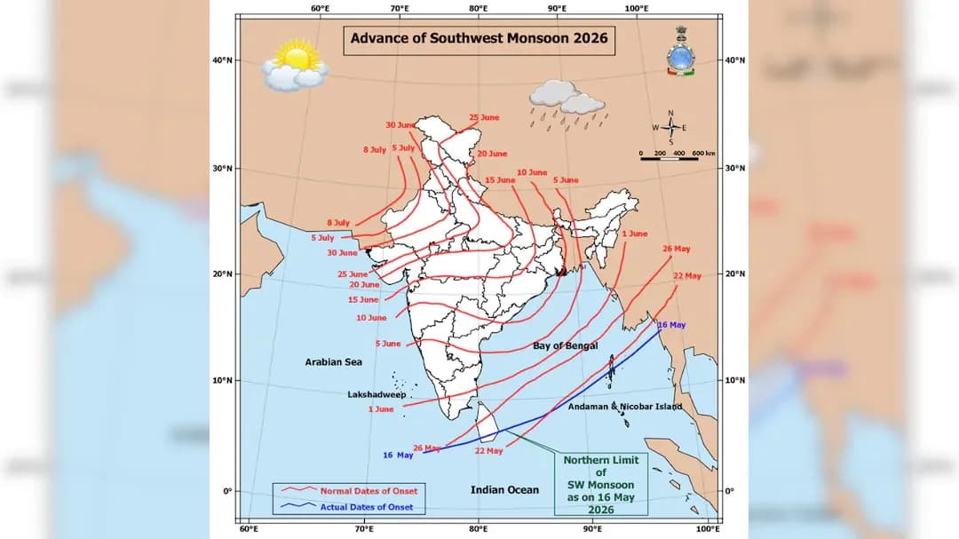
The India Meteorological Department (IMD) has announced that conditions are becoming favourable for withdrawal of southwest monsoon from some parts of West Rajasthan around September 19, 2026, but the process has been delayed due to renewed monsoon activity. According to the latest IMD weather bulletin, west Rajasthan is likely to receive isolated to scattered rainfall between September 14 and 18, but the region is forecast to remain dry on September 19 and 20. The monsoon enters India through the Kerala coast and crosses the mainland in subsequent months before withdrawing from the far western parts of Rajasthan. A low-pressure area over southeast Rajasthan and adjoining Gujarat Region and southwest Madhya Pradesh is currently influencing the weather pattern, with its associated cyclonic circulation extending up to 7.6 km above mean sea level and tilting southwards with height. The monsoon trough at mean sea level currently passes through Naliya, the centre of the low-pressure area over southeast Rajasthan and adjoining north Gujarat, Rajgarh, Damoh, Pendra Road, Rourkela and Digha before extending southeastwards to the northwest Bay of Bengal. The normal date for monsoon withdrawal from Northwest India is September 17 with a standard deviation of four days, making the September 19 timeline slightly delayed from last year's September 14 start. The IMD does not declare withdrawal merely because rainfall happens to weaken, looking for sustained atmospheric changes including reduction in rainfall for about five consecutive days, establishment of a rain-suppressing anticyclone, and clearer skies.
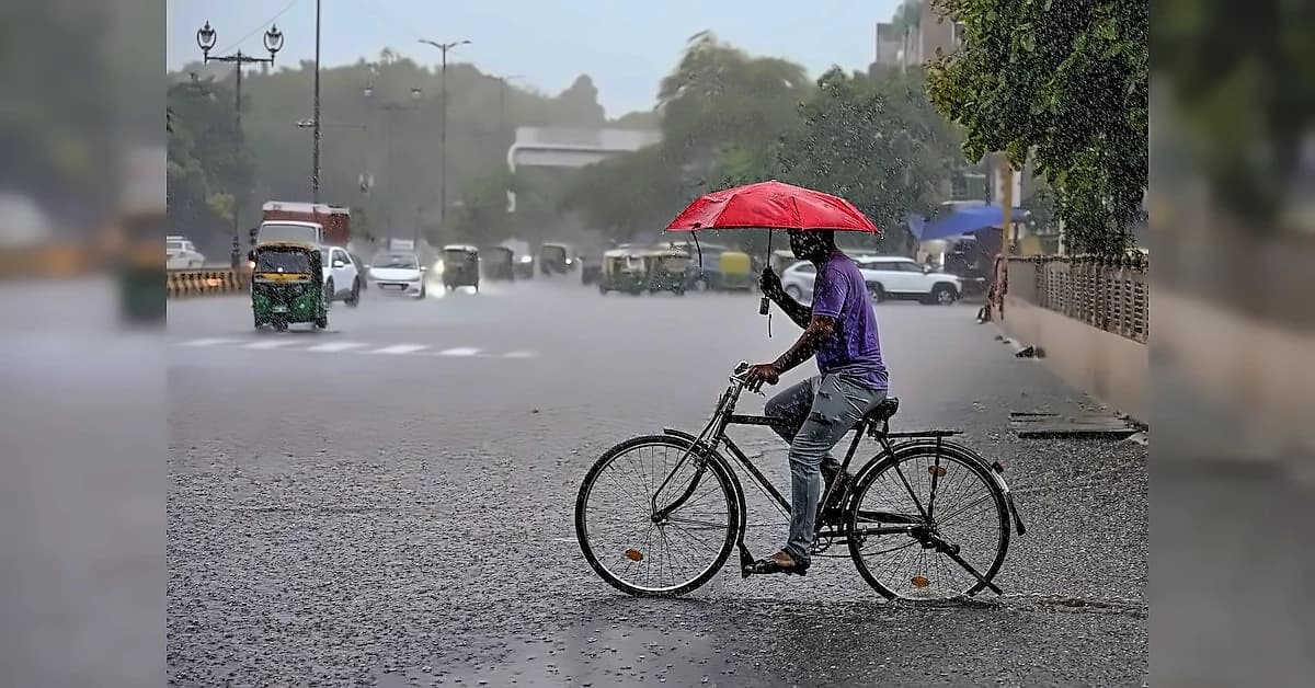
The southwest monsoon has become active again across several parts of India just as conditions for its withdrawal were expected to emerge. Moist monsoon winds have pushed back dry winds arriving from the west, while a low-pressure area near Madhya Pradesh has strengthened rainfall activity across Gujarat, Rajasthan and large parts of central India. As a result, the atmospheric conditions required for the retreat of the monsoon have not yet fully developed. Western and central India are currently witnessing stronger monsoon activity, with several parts of Madhya Pradesh, Rajasthan and eastern Gujarat expected to receive heavy rainfall during the coming days. Gujarat has also seen a revival in rainfall after a prolonged dry spell lasting nearly three weeks, though rainfall deficiency continues to remain a concern in Saurashtra and Kutch where distribution has been uneven. The renewed rainfall could provide relief to agricultural areas, particularly where the prolonged dry period had affected soil moisture and crop conditions. The withdrawal of the monsoon is not determined simply by a reduction in rainfall, with the IMD considering several atmospheric indicators including sustained reduction in rainfall activity, establishment of an anti-cyclonic circulation in the lower atmosphere and significant reduction in moisture levels.
Despite the weak June performance, rains picked up pace in July and August, helping narrow the cumulative all-India deficit to below 15 per cent. The southwest monsoon in July was one per cent above normal on a cumulative all-India average. Kharif crop sowing, which was languishing till the end of June, picked up strong pace in subsequent months. As of September 11, acreage of all crops together was 1.45 per cent lower than last year and 0.72 per cent less than normal acreage. The IMD has forecast thunderstorms with lightning and gusty winds of 30-40 kmph, gusting to 50 kmph, at isolated places over west Rajasthan during September 14-16. Before the retreat begins, the region is likely to witness thunderstorms, lightning, and gusty winds linked to a low-pressure system over north Gujarat. Heavy rain was recorded at isolated places over the hills of West Bengal and Sikkim; Bihar; Uttarakhand; East Rajasthan; east Gujarat; Saurashtra and Kutch; Konkan and Goa; and Madhya Maharashtra, apart from North-West India. Agricultural advisories have been issued across multiple regions, including Gujarat where farmers are advised to ensure continuous drainage in sugarcane, cotton, rice, pigeon pea, castor, sorghum, maize and groundnut fields to prevent waterlogging.
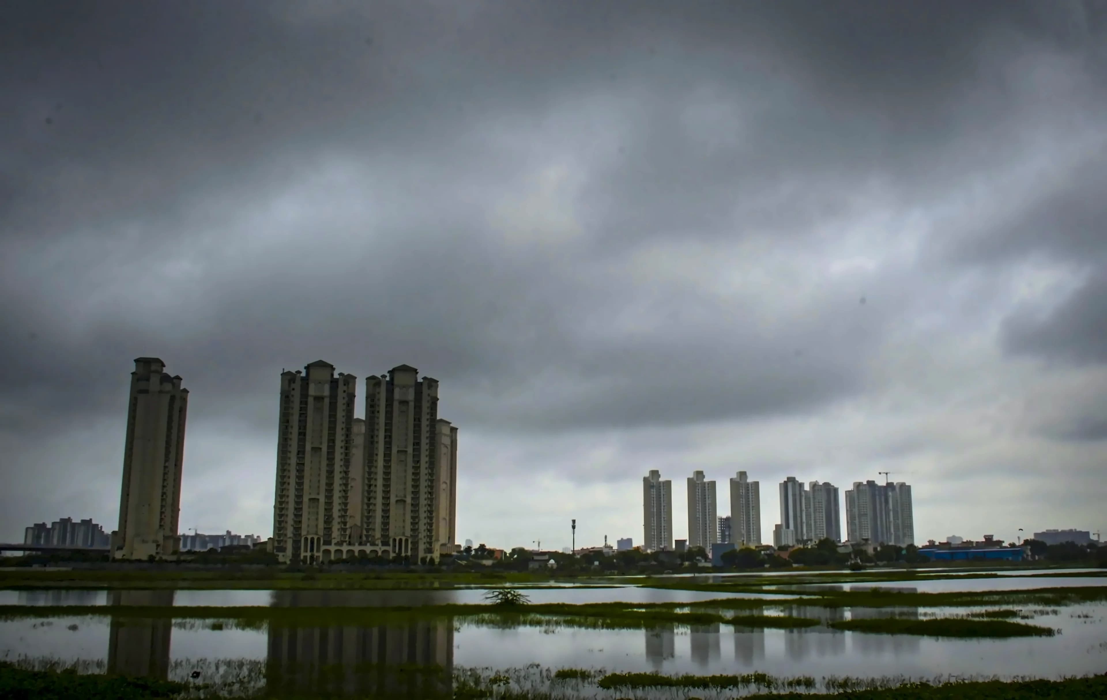
The season is most likely to end with significantly below-average rainfall across much of the country. Punjab is expected to record the highest deficit at -40 per cent, followed by Bihar at -35 per cent, Rajasthan at -25 per cent, Assam at -25 per cent, Manipur at -42 per cent, Arunachal Pradesh at -42 per cent, Meghalaya at -59 per cent, and Goa at -16 per cent. The Andaman and Nicobar Islands are expected to be an exception, with rainfall likely to remain closer to normal. The developing dry spell in west Rajasthan comes even as the weather system over the region continues to influence rainfall elsewhere, with widespread rainfall forecast over Jammu and Kashmir, Haryana, Chandigarh, Delhi, and Punjab until September 18. An upper-air cyclonic circulation lay in wait over the north-west Bay and adjoining coastal Odisha and West Bengal, with a circulation over Coastal Andhra Pradesh having merged with this system, leaving the Bay under watch for the possible formation of another 'low'. A secondary trough extended from the circulation associated with the Rajasthan low across Madhya Pradesh and north Chhattisgarh, while a western disturbance ran roughly along Sriganganagar in Rajasthan and Bathinda in Punjab.
According to data from the Central Water Commission, total water levels in 178 reservoirs monitored across the country were close to 129.87 billion cubic metres (BCM) as of September 3. This is lower than last year's level of 159.18 BCM and even below the average level of the last 10 years, which is 134.233 BCM. Reservoirs in southern India, which experienced the least rainfall this season, are among the worst affected by the water shortage. The developing dry spell in west Rajasthan comes even as the weather system over the region continues to influence rainfall elsewhere, with the meteorological department forecasting rainfall over western Rajasthan until September 16 and monsoon activity expected to continue over eastern Rajasthan until September 20. Fishermen have been cautioned against venturing into both the Bay of Bengal and the Arabian Sea as the monsoon may be preparing its exit from the north-west, but the season is not quite ready to lower the curtain just yet.