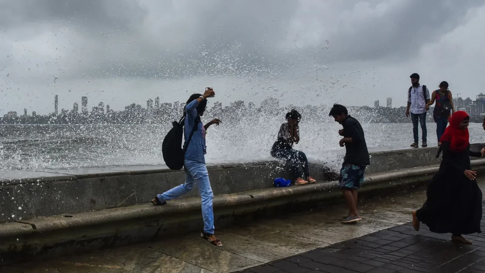
The India Meteorological Department (IMD) issued a district-level red alert covering all 11 districts of Delhi on Tuesday morning, with the warning valid until 9:45 am. Heavy rain lashed several parts of Delhi and adjoining areas of the National Capital Region (NCR), causing waterlogging in several areas and disrupting normal life. According to The Times of India, persistent showers led to water accumulation on roads and low-lying stretches, raising concerns about traffic disruptions during the morning rush hour. Heavy showers were reported from prominent locations including Parliament Street, Connaught Place, the AIIMS area, ITO, R.K. Puram and Ferozeshah Road. The IMD forecast moderate rainfall at many places across Delhi, with isolated locations likely to receive heavy to extremely heavy showers, along with thunderstorms, lightning and gusty winds.
Gurgaon has experienced severe urban flooding during heavy rainfall, with visuals showing several school buses stranded for hours on Monday. According to The Economic Times, a Class 2 girl spent eight hours on her journey from school to home, while parents had to wade through flooded roads to reach stranded buses. The incident prompted authorities to order online classes and a work-from-home advisory for Tuesday, August 25, as the district grappled with severe waterlogging and traffic disruption. The flooding was attributed to over-concretisation and insufficient drain maintenance, highlighting the inadequate infrastructure and poor upkeep in the city's modern facade. Gurugram and Faridabad were placed under a yellow alert, with further rainfall expected.
The India Meteorological Department (IMD) has forecast heavy rainfall across several states on Wednesday as monsoon activity remains strong over northern, central, eastern, and northeastern India. According to reports from Business Standard, a low-pressure area over the northwest Bay of Bengal is likely to continue influencing rainfall activity over eastern and central India. The weather system, along with prevailing monsoon conditions, is expected to keep several regions wet over the coming days, while the west coast also remains under a prolonged rainfall spell. As per The Economic Times, Delhi-NCR is likely to see rain, thunderstorms and lightning on August 25, with New Delhi, Noida, Gurgaon, Faridabad and Ghaziabad among the areas covered by the IMD forecast.
Under the low-pressure system's influence, heavy rainfall has been forecast over Jharkhand, Bihar, Chhattisgarh, East Madhya Pradesh, and Uttar Pradesh. In north India, Uttarakhand, Himachal Pradesh, Jammu and Kashmir, Ladakh, and East Uttar Pradesh are likely to receive fairly widespread rainfall. Parts of Himachal Pradesh, Jammu and Kashmir, and Ladakh are expected to receive scattered rainfall, with thunderstorms and lightning likely in parts of the region. In central India, Madhya Pradesh, Vidarbha, and Chhattisgarh are likely to receive widespread rainfall, with heavy rain expected in parts of the region through the coming days. The IMD has warned of heavy to very heavy rainfall at isolated places over Madhya Pradesh on August 25-26, while Chhattisgarh is also likely to receive heavy to very heavy rainfall at isolated places. A low to moderate flash-flood risk has been forecast over several districts of East Madhya Pradesh, including Rewa, Satna, Sidhi, Shahdol, Singrauli and Jabalpur, until 5.30 am on August 26.

In the south, widespread rainfall is expected over Kerala, Mahe and Lakshadweep during August 25-28, while Coastal Karnataka is likely to receive widespread rain through August 31. Isolated heavy rainfall is also forecast over Coastal Karnataka, South Interior Karnataka and Tamil Nadu over the week. The IMD has also issued a fishermen warning for several parts of the Arabian Sea and Bay of Bengal, with squally weather and strong winds expected over some coastal and adjoining sea areas. People travelling to the mountainous states have been advised to check weather forecasts and road conditions before starting their journey. Continuous rainfall may lead to waterlogging in low-lying areas, traffic disruptions and flood-like conditions at some places.
In east India, widespread rainfall is likely over West Bengal, Sikkim, and Jharkhand. Bihar is also likely to receive heavy showers, while rainfall activity is expected to increase over Odisha in the coming days. The Northeast is also expected to remain wet, with heavy rainfall forecast over Arunachal Pradesh, Assam, Meghalaya, Nagaland, Manipur, Mizoram, and Tripura. Isolated heavy rainfall is likely over Arunachal Pradesh, Assam and Meghalaya, as well as Nagaland, Manipur, Mizoram and Tripura during the week. The IMD has forecast fairly widespread to widespread rainfall over Jharkhand and Gangetic West Bengal through August 31, with sub-Himalayan West Bengal and Sikkim also likely to receive widespread rainfall during the period.
Air quality across Delhi-NCR remained largely in the poor category as heavy rainfall continued to disrupt normal life. According to The Times of India, Anand Vihar recorded the highest pollution level among the listed stations, with an AQI of 208. AQI readings included Mundka at 81, CRRI Mathura Road at 96, Rohini at 130, Punjabi Bagh at 114, Chandni Chowk at 135, Narela at 90, Shadipur at 64, R.K. Puram at 109, Pusa at 123, North Campus at 131, Cantonment Area at 103 and Sonia Vihar at 131. The latest spell of rain pushed cumulative monsoon rainfall above normal at several Delhi weather stations. Till August 24, Safdarjung recorded 246.2 mm against a normal of 191.1 mm, an excess of 29 per cent. Palam received 227.2 mm, 28 per cent above normal, while Lodi Road recorded 233.2 mm, 22 per cent higher than normal. Ridge recorded 243 mm, 50 per cent above normal, while Ayanagar received 266.3 mm, 66 per cent above normal.